-

World Relief & Bathymetry
Tools Used: ArcGIS and Adobe Photoshop
-

Detroit Population Change: 1950-2010
Tools Used: ArcGIS and Adobe Illustrator
-

Chicago Loop - Partial 3D
Tools Used: GeoMedia, Google Sketchup
-

Oakwood Cemetery Project
Tools Used: GeoMedia, Leaflet Mapping API, DataTables.js
-

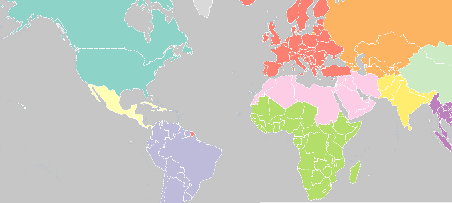
Interactive World Map with Sortable HTML table
Tools Used: Leaflet; DataTables.js


