
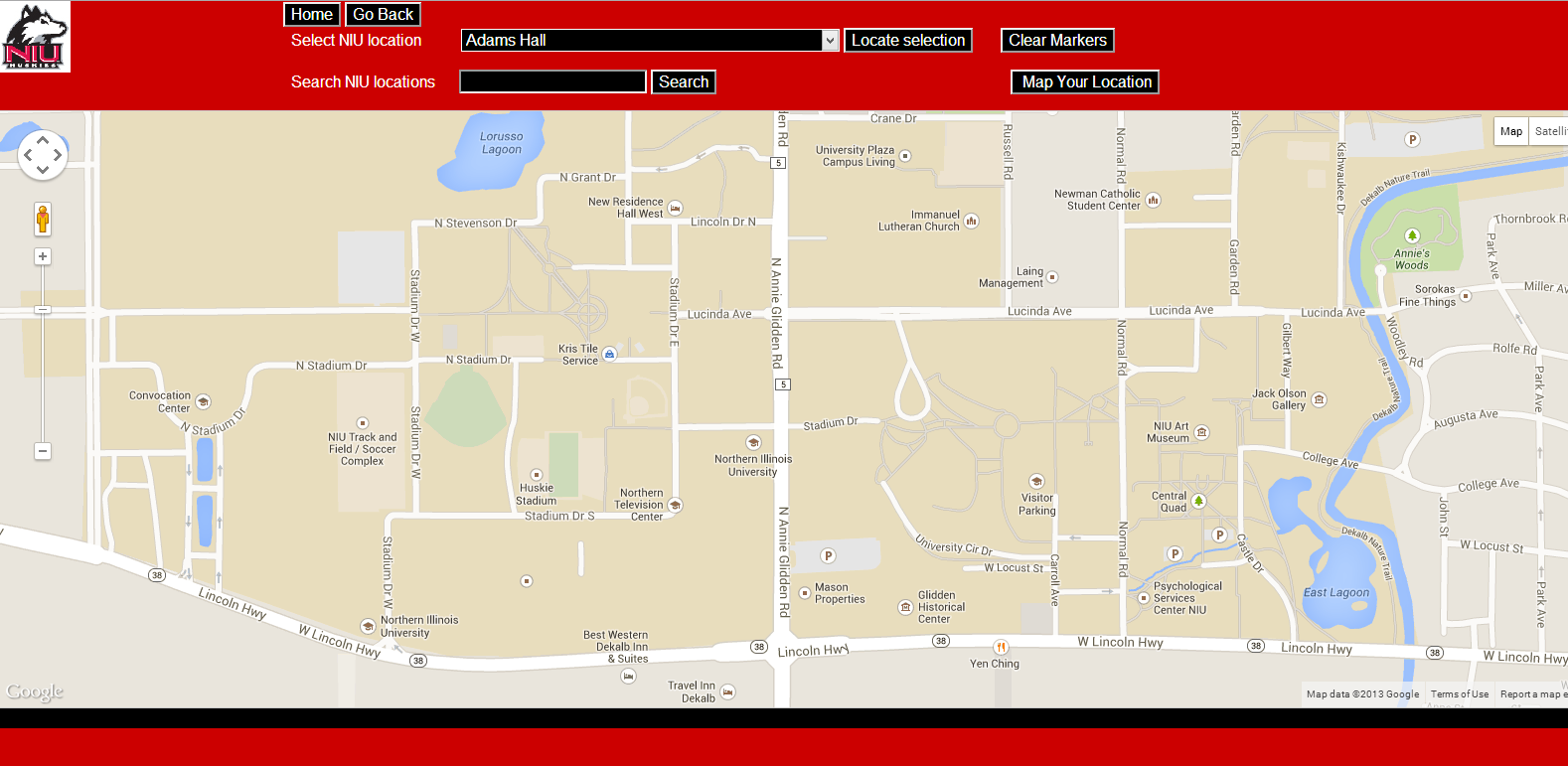

G&ES 387 teaches advanced cartographic techniques for web delivery of interactive maps. Techniques include basic coding and script modification for interactive map images, preparation of base maps, and web data formats. Emphasis is placed on widely available open source tools.
The specific objectives of the course are as follows:
Ian Muehlenhaus. 2014. Web Cartography: Map Design for Interactive and Mobile Web Devices. CRC Press.
Grading (weighted as follows):
Midterm Exam (20%): There will be 1 Midterm exam that will represent 20% of your grade. Exam questions will be multiple choice, map identification or short answer and will cover material covered in class. A list of terms to study for will be provided before each exam. You must take the exam at the assigned time. If you are concerned about missing an exam please speak to me well in advance.
Lab Exercises (60%): There will be 10 lab exercises that will comprise 60% of your total grade. There will be no makeup labs.
Final Project (20%): The final project will comprise 20% of your total grade. The final project will consist of a web map project that you will post online. Graduate students will be required to have a data visualization element to their final project map. Details will be discussed in class midway through the semester. There will be no makeup final projects.
Final grades will be determined as follows: A (more than 90%), B (80% to 90%), C (70% to 80%), D (55% to 70%), and F (less than 55%).
Class Etiquette: : Please be punctual and turn cell-phones off prior to class. Laptop use is limited to note taking only (and not for the internet). Respect, courtesy and tolerance should be extended to all other students. Although roll will not be taken, students are expected to attend every class.
Late Work: Please be advised that there will be no make-up lab work. Also, there will be no make-up for the exams unless you experience a documented emergency or an excused absence. Incomplete grades will not be given.
Academic Honesty: Be honest. Cheaters never prosper.
.Questions and/or Concerns: Emails are more than welcome and I will try to respond to them in a timely manner (definitely within 24 hours, usually sooner). If you are having problems with the course material, please contact me as soon as possible.
| Tuesdays | Thursdays | |
|---|---|---|
| Week 1 Jan. 7/9 |
Cancelled - Weather |
Course Intro, Interactive Maps, Lab prep, software downloads |
| Week 2 Jan. 14/16 |
Web Map Production: HTML(5); CSS(3); Javascript; Jquery |
Lab #1 |
| Week 3 Jan. 21/23 |
Web Spatial Data Formats: KML; GeoJSON; SVG; Tiles; GeoPDFs |
Lab #2 |
| Week 4 Jan. 28/30 |
Map Elements |
Lab #3 |
| Week 5 Feb. 4/6 |
Map Composition & Layout |
Lab #4 |
| Week 6 Feb. 11/13 |
Color & Typography |
Lab #5 |
| Week 7 Feb. 18/20 |
Visual Variables & Thematic Visualization |
Lab #6 |
| Week 8 Feb. 25/27 |
Exam #1 Review |
Exam #1 |
| Week 9 March 4/6 |
Google Static/Google Earth |
Lab #7 |
| Week 10 Mar 11/13 |
Mapping APIs: Google, Leaflet, OpenLayers, ArcGIS Online |
Lab #8 |
| SPRING BREAK |
SPRING BREAK |
SPRING BREAK |
| Week 11 Mar. 25/27 |
Data Tables |
Lab #9 |
| Week 12 April 1/3 |
Data Visualization |
Lab #10 |
| Week 13 April 8/10 |
Final Project |
Final Project |
| Week 14 April 15/17 |
Final Project |
Final Project |
| Week 15 April 22/24 |
Final Project Presentations |
Final Project Presentations |
| Week 16 December 10th |
Final Exam: Tuesday, April 29th; 10:00 - 11:50pm |
|
 Mike Ribant M.A.; A.B.D., is a doctoral candidate in the Department of Geography at Northern Illinois University, where he has taught geography and was named Outstanding Graduate Student. For the past several years, Ribant has taught classes in Geographic Information Systems (GIS) and geography at various colleges in the Chicagoland area including Northeastern Illinois University, Northern Illinois University, Harper College, Triton College and City Colleges of Chicago. These classes include Introduction to GIS, Advanced GIS, Interactive Cartography, Remote Sensing, Vector GIS and Raster GIS. Ribant also developed a course for Chicago State University under a grant contract entitled GIS for Homeland Security and won the poster competition at a recent Illinois GIS Association (ILGISA) conference. He currently teaches at Harper College and Harold Washington College in downtown Chicago. His research interests are in the areas of urban geography, GIS, web mapping, spatial analysis, transportation geography, public finance and geovisualization. A native Detroiter, his dissertation research aims to better understand America’s post-industrial, shrinking cities and examines various operationalized and postulated methods for ”right-sizing“ them. Prior to entering graduate school in 2007, Ribant owned a retail coffee chain in downtown San Diego. An avid fly-fishing enthusiast, Ribant is the editor of two books about fishing: The U.S. Bass Atlas and The U.S. Trout Atlas.
© 2016 Mike Ribant